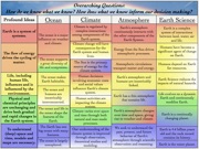
Why does the earth look the way it does?

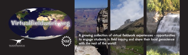
welcome to real earth systems science & VIRTUALFIELDWORK.ORG
Why does the river change direction at the falls?
Why is the river so flat above the falls?
Why is Earth a nearly perfect sphere?
Why does this place look the way it does?
Video produced by Rebecca Méndez
How do we do that? Our approach includes the following:
-
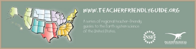
 We are developing a series of Teacher Friendly Guides (TFGs) to all regions of the United States. More information about TFGs and the already completed Northeast and Southeast Guide are available at teacherfriendlyguide.org.
 -
We design and implement teacher professional development programs that are well informed by best practices research in learning, teaching and the nature of effective science teacher professional development.
-
We work with teachers as they create Virtual Fieldwork Experiences (VFEs) and take their students to actual field sites. See the database of VFEs here (or from the database link in the menu at the top of every page).
-
Earth System Science Big Ideas shape our work in all of the above.
ReaL ESS is a project of the Paleontological Research Institution, its Museum of the Earth in Ithaca, New York and the National Science Foundation.


START EXPLORING VFES!
-
•A VFE DATABASE is linked from the menu at the top of every page in this site.
-
•CZO VFEs introduce you to Critical Zone science throught VFEs of Critical Zone Observatories.
START MAKING VFES!
-
•Real and Virtual Fieldwork: "Why Does This Place Look the Way it Does?", is a chapter from The Teacher-Friendly Guides to the Earth Science of United States that gives an overview of both actual and virtual fieldwork.
WHAT’S NEW?
-
•The Teacher-Friendly Guides to the Earth Science of United States are rolling out region by region. The Midwestern and Western Guides are newly online!
-
•Find materials from our presentations at conferences like NSTA, NAAEE, STANYS and GSA here.
GIVE US FEEDBACK, PLEASE!
-
•Take our very short survey here or at the bottom of this page.
MORE RESOURCES:
-
•Resources related to the Summer 2013 professional development workshop:
-
•Powers of Ten Tutorials! Download them in a Google Earth file here.
-
•Click on the course title for information on the Geological Society of America short course: Virtual Field Experiences in Geoscience Education.
-
•Use the USGS Digital Geologic Maps of US States in concert with Google Earth’s Elevation Profile Tool to see the interplay of bedrock geology and the lay of the land. Here’s the how to.
-
•An FAQ has been created for the Powers of Ten Tutorials! See the bottom of Your Own Powers of Ten page. Ask a question if yours isn’t addressed!
-
•Download the American Paleontologist article: “Big Ideas in Earth System Science.”
Join the museum of the Earth!